
Extreme Weather Swings: The New Normal?
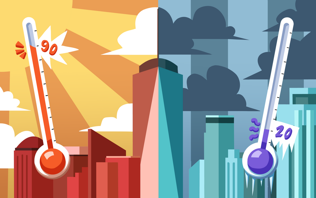
Weather whiplash, the rapid swing between weather extremes, is becoming more common and violent as a warming Arctic destabilizes key atmospheric systems. Art/Photo Request: City skyline split down the middle: one side bright sun and a thermometer reading 90°F, the other side dark storm clouds with snowstorm.
Reading Time: 4 minutes
Temperatures in New York City climbed past 90°F on Tuesday, May 19, 2026, pushing the city well above the seasonal average for late May. Less than 48 hours later, our city was under a severe thunderstorm watch. People experienced high winds, lightning, and even hail. Within the span of a few days, the city had pinballed from a heat wave to a hailstorm. Meteorologists and climate scientists call this abrupt flip “weather whiplash,” and they say it’s happening more often, and more violently, than it used to.
The mechanics of the May event were straightforward. A mass of unusually warm air had been sitting over the eastern United States for several days, pushing temperatures into the low 90s across the region. A cold front from the Midwest was barreling east. When two air masses of very different temperatures meet, the warm, moist air gets shoved upwards fast, and that rapid lift suddenly condenses and becomes a severe thunderstorm. The reason that the temperature gap between these two air masses became so extreme in the first place sits miles above the surface in the jet stream.
The jet stream is a fast moving river of air about five to nine miles above the planet’s surface, circling the Northern Hemisphere from west to east. It separates cold polar air to the north from warmer air to the south. The larger the gap between the temperatures of these two air masses, the stronger and straighter the jet stream flows. When the jet stream is straight and fast, weather systems are carried along with it at a predictable pace. Air masses do not have time to settle in and intensify, and the boundaries between warm and cold stay roughly where they should for the season. Because the pattern is consistent, forecasters can extend their weather predictions further out with reasonable confidence.
The Arctic, however, is warming more than twice as fast as the global average, a phenomenon called Arctic amplification. Sea ice usually reflects sunlight back into space, but as it melts, the dark ocean water underneath absorbs more heat, melting more ice, and so on. As the Arctic heats up, the temperature gap between the pole and the equator shrinks, weakening the jet stream. The weaker jet develops big north-south loops, like a lazy river carving wide curves. These loops allow warm air to push unusually far north, bringing heatwaves to places usually covered in snow, and let cold air plunge unusually far south, dragging Arctic conditions into places that have already started thinking about summer.
The polar vortex also plays a role in these weather patterns. The polar vortex is a separate band of frigid air that normally sits locked over the Arctic, spinning counterclockwise in the stratosphere, the second layer of Earth’s atmosphere. When the vortex is tight, it stays put. But it can be disturbed by planetary waves, which are large bodies of air generated by the rotation of the Earth. When this air flows over sharp changes in the Earth’s topography like mountain ranges or land-sea boundaries, some of it is deflected upward, colliding with the polar vortex. This can slow the spin of the vortex, causing it to stretch. Sometimes a section detaches and slides south, dumping frigid Arctic air far below where it belongs. This is what causes brutal cold snaps in warm places like Texas, causing events like a devastating blizzard in 2021.
Looking at the factors together gives us a clear view of the causes of whiplash. A wavier jet stream allows warm and cold air to move much farther from where it belongs, and stretching events in the polar vortex can dump cold Arctic air deep into the mid-latitudes. When these weather patterns get stuck in a process called atmospheric blocking, these extremes linger over regions for extended periods of time. A blocking high in the summer can cause month-long heatwaves. A blocking pattern in winter can lock in cold for the same timespan. After weeks of stalled air, temperature contrasts across the region are enormous. And when the block finally collapses, the opposing air masses rush together, fueling violent weather at their boundary.
Most climate adaptation strategies assume change happens slowly enough to prepare for. Cities can budget for hotter summers, farmers can shift planting dates, and building codes can be rewritten over time. Whiplash gives no such time. A rapid flip from heatwave to hail stresses power grids, road crews, and emergency services all at once. Crops are wiped out when an early warm spell triggers blooming and a late freeze kills the buds. Wildfires intensify when wet periods grow extra vegetation that sudden hot spells ignite. Infrastructure designed around historical averages runs into trouble at both ends of extreme weather created by weather whiplash.
The heat-to-hail swing that hit New York in late May fits a pattern scientists are seeing across the Northern Hemisphere: a warming Arctic, a wavier jet stream, a more easily disrupted polar vortex, and a growing tendency for weather to whip across extremes. “Average” weather isn’t going away, but the swings around that average are getting wider. The next decade of climate research will likely focus less on the slow drift of the mean and more on the whiplash itself. For now, the only safe forecast is that next week’s weather won’t look much like this week’s.